
Pakistan’s national space agency SUPARCO announced on Thursday that it is providing satellite imagery of flood-hit regions to assist the government in prioritising relief and rehabilitation efforts.
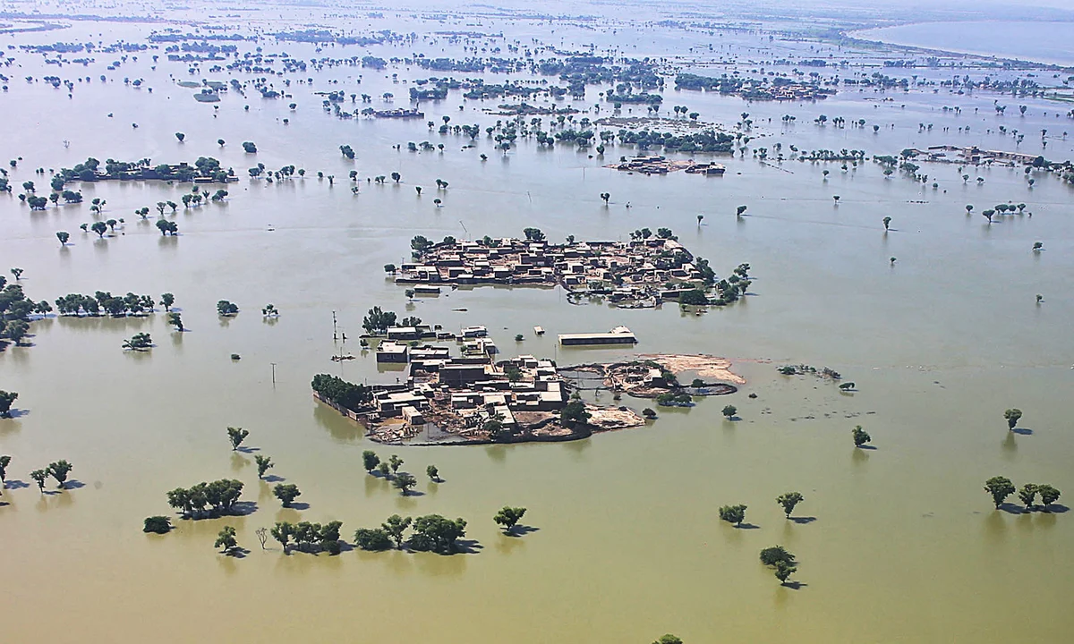
Massive flooding has gripped Punjab after India released excess water from its dams in Kashmir, sending surges into the Sutlej, Chenab, and Ravi rivers. At least 15 people have died in the latest wave of monsoon flooding, while army units have been deployed for rescue missions in Lahore, Kasur, Sialkot, Faisalabad, Narowal, Okara, Hafizabad, and Sargodha.
Satellite Images for Rapid Disaster Assessment
In a statement, SUPARCO said it had captured pre- and post-disaster satellite images, allowing authorities to identify submerged settlements, damaged roads, and disrupted communication networks. The agency emphasised that such space-based information enables faster decision-making in disaster management, particularly in regions with limited ground access.
The images and maps prepared by SUPARCO also highlight crops and roads at risk, providing actionable data for relief agencies. Through its Disaster Watch Portal, the agency is offering real-time updates on the evolving situation across the three rivers.
Broader Role in Disaster Management
Beyond the current floods, SUPARCO operates the National Catastrophe Modelling Project, a system that assesses risks from floods, droughts, landslides, heatwaves, earthquakes, and cyclones. The project is central to improving disaster preparedness, mitigation planning, and developing disaster risk financing strategies for Pakistan.
SUPARCO underlined the importance of such tools for developing countries, where timely information can save lives and resources.
Death Toll Continues to Rise Nationwide
According to the National Disaster Management Authority (NDMA), 805 people have died this monsoon season, including 203 children, while over 1,100 others have been injured. Khyber Pakhtunkhwa province has reported the highest casualties, with flash floods, landslides, and cloudbursts devastating entire communities.
Background: Pakistan’s New Remote Sensing Satellite
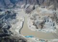
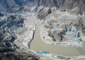
The disaster mapping is being powered by SUPARCO’s newly deployed remote sensing satellite, launched on July 31, 2025, from China’s Xichang Satellite Launch Centre. The system, equipped with state-of-the-art imaging technology, has already begun transmitting high-resolution data to ground stations in Pakistan.
The satellite is designed to revolutionise urban planning, infrastructure monitoring, and agricultural development, while significantly enhancing disaster management capabilities. It will also play a key role in major national projects such as the China-Pakistan Economic Corridor (CPEC) by mapping transport networks and monitoring geohazards.
Pakistan’s growing space program has recently achieved several milestones, including the launch of PakSat-MM1 for high-speed internet, the indigenously developed EO-1 satellite for disaster prediction, and the student-built iCube Qamar, which sent back stunning lunar images. Plans are also underway for a lunar rover mission in 2028 under China’s Chang’E 8 program.
Related stories:
NDMA evacuates 150,000 amid Sutlej River floods
SUPARCO Successfully Deploys Advanced Remote Sensing Satellite


