
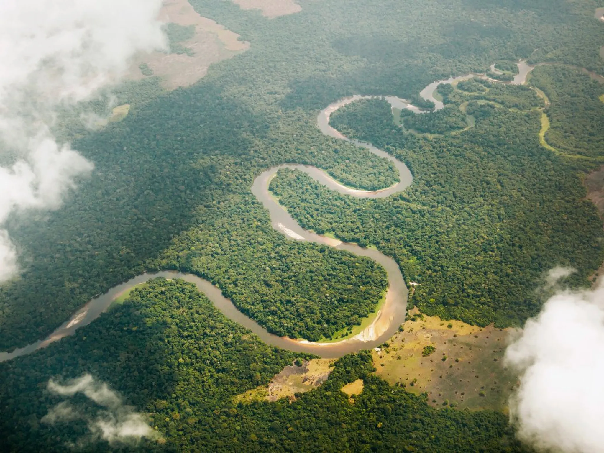
Chinese scientist redefines Congo River’s source with satellite remote-sensing and field surveys. A Chinese researcher has employed satellite remote-sensing technology to identify the true source of the Congo River, Africa’s second-longest river, and determined its total length to be 5,260 kilometers, surpassing earlier estimates.
The Congo River, second only to the Nile in Africa, is known for its immense water resources. Since the 1800s, explorers and geographers have repeatedly journeyed to the river and its origin region in efforts to trace its exact starting point.
While the Chambeshi River in Zambia had long been considered the Congo’s uppermost source, uncertainty persisted about the river’s precise point of origin. Reported lengths varied significantly in existing literature, ranging from 4,320 to 4,700 kilometers, according to Liu Shaochuang, a scientist from the Aerospace Information Research Institute under the Chinese Academy of Sciences.
To resolve this uncertainty, Liu examined satellite remote-sensing data covering the Congo River and its tributaries and undertook two field expeditions in the source region. He concluded that the river originates at 31.22°E longitude and 9.19°S latitude, at an elevation of 1,771 meters above sea level.
Rivers are essential to human life. Inspired by the Chinese saying, “When drinking water, remember the source,” Liu has been motivated to trace the exact origins of the world’s major rivers.
Liu explained that inconsistencies in river length across sources can be attributed to factors such as the choice of the source point, the data used, and measurement techniques. Some length differences have spanned hundreds or even thousands of kilometers.
He noted that past measurements relied on outdated tools or local traditions, which often led to inaccuracies. With modern technology, there is now a need to redefine river sources and update existing length records using scientific methods.
Liu emphasized that satellite remote-sensing is the most efficient and accurate means of identifying river sources and measuring their full courses, thanks to its ability to provide detailed, basin-wide imagery.
Globally, the standard for determining a river’s source is to find the most distant tributary with year-round flow. Liu has applied this methodology to redefine the sources of more than 20 of the world’s major rivers, including the Yangtze, Yellow, Nile, and Amazon rivers.
Related Posts


